
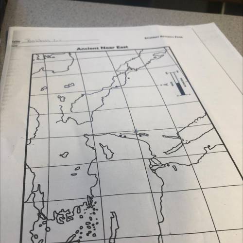
History, 25.08.2021 22:00 payshencec21
1. The latitude and longitude lines are drawn at 4° intervals. Label these on the west
and north sides of the map.
2. With blue pencils, color the bodies of water light blue, and label the following in
darker blue:
Aegean Sea, Mediterranean Sea, Red Sea, Dead Sea, Persian Gulf, Caspian Sea,
Black Sea
3. With a blue pencil, trace the following rivers, and label them in blue:
Nile, Jordan, Tigris, Euphrates
4. Trace the ancient shoreline of the Persian Gulf (shown by a dotted line) with a
blue pencil and label it in blue.
5. Label the following areas:
Greece, Crete, Egypt, Sinai Peninsula, Palestine, Asia Minor, Cyprus,
Phoenicia, Syria, Mesopotamia, Babylonia, Sumer, Arabia, Persia
6. With green pencils, shade the Fertile Crescent, and label it in darker green.
7. Label and underline the following points:
Babylon, Nineveh, Jerusalem, Memphis, Thebes, Sidon, Tyre, Ur
8. *Which city was Hammurabi's capital?
9. *Which cities on the map were Phoenician trading centers?
10. *Which city on the map was the Assyrian capital?

Answers: 1


Another question on History
History, 21.06.2019 19:30
Explain why hitler had over 6 million jewish people killed during the holocaust and what did it hope to accomplish
Answers: 1
History, 21.06.2019 20:20
Which of these belongs to the united states after the spanish american war ?
Answers: 2
History, 21.06.2019 21:00
Which of the following areas borders the pacific ocean and has a mediterranean-style climate? a. british columbia b. northern oregon c. southern california d. southern washington
Answers: 1
You know the right answer?
1. The latitude and longitude lines are drawn at 4° intervals. Label these on the west
and north s...
Questions


Social Studies, 28.07.2019 19:30
English, 28.07.2019 19:30

Advanced Placement (AP), 28.07.2019 19:30
Mathematics, 28.07.2019 19:30
Chemistry, 28.07.2019 19:30
Biology, 28.07.2019 19:30

Computers and Technology, 28.07.2019 19:30


